



By TIM WILCOX
Special to the Alpine Mountaineer
Where: Lake Arrowhead
Length: 3.6-mile round trip
Elevation gain: 165 feet
Challenge: easy to moderate
On a bluff overlooking Lake Arrowhead and Papoose Lake, MacKay Park is one of our area’s most accessible launching points for hiking and walking – the distinction being mostly a matter of pace. Besides a prime location, MacKay boasts a large lot in which you can almost always find a parking space.
For this outing, claim one of those spots and secure your vehicle. Now walk northwest along the road that leads to MacKay, heading toward Mountains Community Hospital and past its parking lot. At about the 0.3-mile mark, turn right on the more narrow road and head up into the North Shore Campground (closed for the season but still accessible on foot). Bear to the left as you walk past campsites, heading for the campground’s highest level.
There the pavement ends and, through an open gate, a rough Forest Service access route leads up to Old Sawmill Road. You’ve been walking for nearly one mile. Now your off-road hike finally begins.
On the Road/Trail
Yes, this is Old Sawmill Road, but it’s actually more of a trail. So, when you come to a large log in your path, that’s the starting point. Make a sharp left turn there and head north along the wide, beaten-earth route. Here off-road vehicles and dirt bikes pass only on occasion. More often than not, it plays host to hikers – though they (we) tend to be infrequent as well.
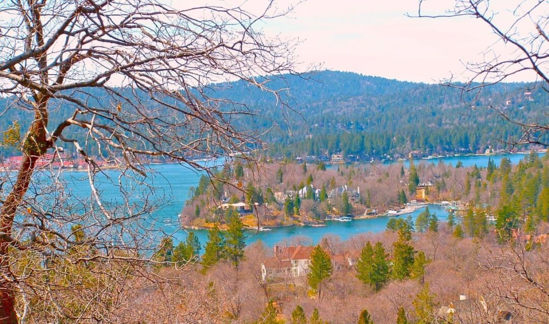
Looking west, near the start of Old Sawmill Road, hikers view Lake Arrowhead through the trees. Eagle Point is the prominent centerpiece.
A tenth of mile or so along the way, you’ll catch a glimpse of Lake Arrowhead to the left. Wander in that direction for 30 or 40 paces, and you’ll get a more expansive view with Eagle Point in the center. From this vantage, too, you can see the snowy San Gabriel Mountains to the west.
As the trail descends, you’ll notice signs of heavy water flows caused by recent rainstorms. This isn’t a wilderness hike, in the sense of being “way out there,” removed from civilization. The impressive homes high on a hill ahead put that notion to rest. Still, you’re hiking through the forest removed from traffic.
The trail continues its downward arc until you come to a level open space. There, to the right, is a more narrow pathway that winds down into the forest. But let’s stay on Old Sawmill, which extends to the left and begins a definite ascent. Because it’s steeper here and more narrow, the erosion is even more dramatic. Sections are quite rocky as well. Oaks and chaparral are the primary vegetation.
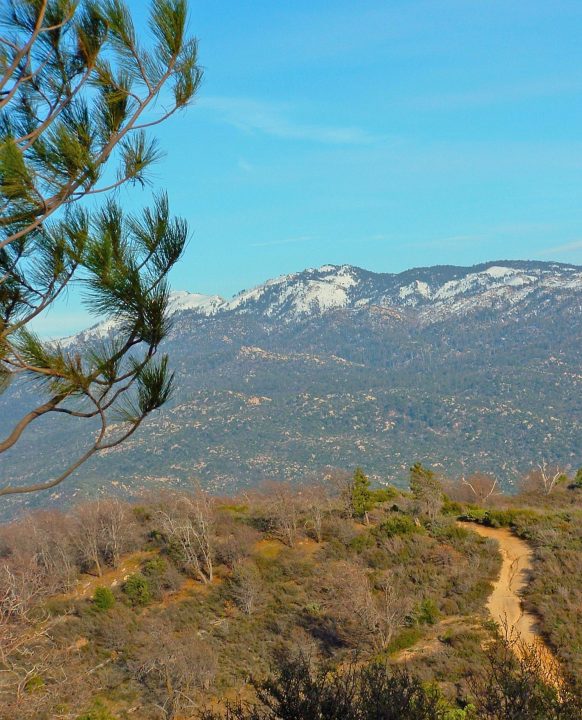
As you hike uphill, savor the vista of snow-covered mountains to the east. Then, at about the 1.8-mile mark (from MacKay Park), you’ll come to another open space with a T-intersection. To the left are Banff and Mammoth drives, with the stately hillside homes noted earlier. To the right, Old Sawmill Road passes through a weathered open gate. Walk just beyond that point to savor great views of the High Desert and The Pinnacles. You’ll see, too, that the pathway narrows and heads steeply downhill for some distance, eventually intersecting with Rouse Ranch Road. That’s a trek for another day.
The old gate is a good place to turn around and retrace your steps – down and then up Old Sawmill Road, back to the short access route into the campground, along its main road to Mountains Community Hospital and finally left on Hospital Road back to MacKay Park. The overall hike is about 3.6 miles.
NOTES: This is an easy-to-moderate foray along paved streets and dirt roads. It passes through the deserted North Shore Campground, then traverses a mostly pedestrian route with lovely views along the way. The second leg of Old Sawmill Road is somewhat steep but not overly demanding. Depending on your pace, expect the round trip to take 60 to 90 minutes.





0 Comments