



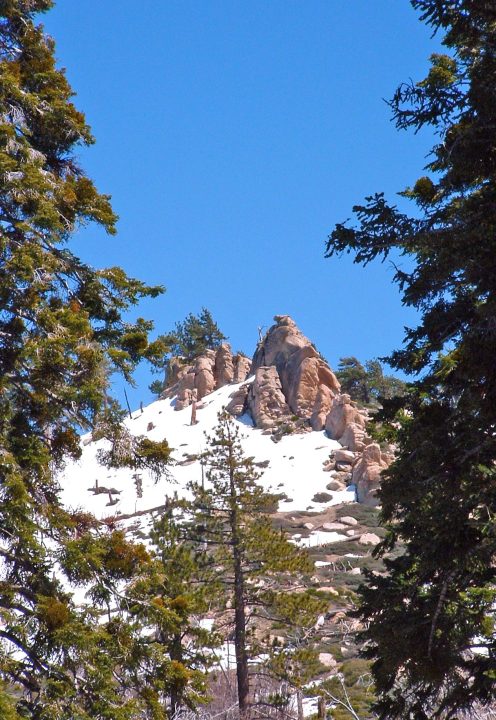
By TIM WILCOX
Special to the Alpine Mountaineer
Where: Green Valley Lake
Length: 3-mile round trip (partial transit)
Elevation gain: 156 feet
Challenge: easy to moderate (snowfields)
We’re back in our mountains’ highest community, where last October we hiked around its tiny, but also picturesque, nine-acre lake. This time our destination is the Green Valley Campground Trail, slightly more than a mile east of the lake.
First a reminder of how to get to this alpine enclave, which is situated at 7,200 feet and whose civic motto is “Above the Clouds.” From the main intersection in Running Springs, motor east and downhill through Arrowbear Lake about 2.5 miles. Turn left onto Green Valley Lake Road and drive for another four miles. There’s the lake. FYI, the small but sturdy dam on its western edge was built nearly 100 years ago.
Continue through town until you arrive at the end of the road and the campground itself. There’s no public parking inside, so find a spot near the two access points without blocking either one. OK, let’s go hiking!
On the Road and Trail
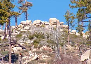
An impressive pile of boulders has likely been stable for centuries, if not millennia.
Walk through the campground’s left entry and head up the road. Soon you’ll pass the site occupied by the facility’s host(s). If you see him or her (or them) and feel inspired, stop for a moment to announce that you’re bound for the trail and ask if there’s any current information you should know.
About three-tenths of a mile from the entryway, you’ll come to a portable ROAD CLOSED sign. Now you’ll be leaving the 37 campsites behind. Then, just beyond the half-mile point, the pavement ends. Here a permanent gate with more ROAD CLOSED signage leads to a dirt road that’s finally the trail. A few steps farther, and you’ll come to a junction. Eschew the route to your left. Instead, hike straight ahead. A stream running with snowmelt will confirm that you’re on track.
And now a mea culpa: This hiker/columnist naively underestimated the amount of snow that would remain in late April at altitudes above 7,200 feet. But let’s proceed for a while at least. A large snowfield presents itself and, fortunately, is relatively easy to negotiate. As the route rises and descends, several shorter stretches also have firm-packed snow. Then a really large field proves to be slightly more challenging but still manageable.
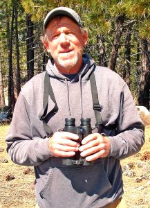
Eric Tipton is an avid birder who enjoys visiting the areas around Green Valley Campground to catch sight of species that thrive in the higher altitudes there. Currently living in Lake Arrowhead, he was a resident of Running Springs for four decades.
At about the 1.3-mile mark, a tributary to the main stream crosses the path, necessitating a dexterous leap of faith. Another two-tenths of a mile or so, and it becomes clear that the trail, rising to the east, will be completely covered by snow. Look for a small boulder immediately to the right with two looming Ponderosa pines. This is a sensible turnaround point.
So, somewhat unexpectedly, consider this to be a three-mile “appetizer hike” (unless you decide to bring snowshoes). But in several weeks – let’s say early June – this oh-so-interesting route should be clear of the white stuff. Then you can hike for miles. In fact, if you’re really ambitious, you can trek all the way to Fawnskin. How far is that? More than nine miles. Now, that’s a hike!
In the absence of world-class trail credentials, the round trip is not advised – certainly not as a solo hiker. Instead, consider asking a family member or friend to drive to Fawnskin and meet you there. FYI, too, this road/trail leads to other routes, branching off in many directions. So, it’s a hiker’s playground of the first order.
If you elect to complete the “appetizer hike,” consider stopping in town center before heading home. Find a place to park, then circumnavigate the lake. It’s a delightful 1.5-mile stroll.
NOTES: Even in early May, this many-mile route is still mostly covered with snow. The initial stretch, above the campground, is a mix of dirt road and snowfields. It’s a thoroughly enjoyable introduction to a series of trails that fan out in several directions. The main one, leading to Fawnskin, is 9.3 miles long.





0 Comments