



By TIM WILCOX
Special to the Alpine Mountaineer
Where: East of Running Springs
Length: 2.2 miles
Elevation gain: 57 feet
Challenge: easy
Our destination this week is in a setting beloved by outdoor-adventure devotees. The area’s main attraction is the Exploration Trail, which rises 4.5 miles with an elevation gain of nearly 1,500 feet. Blessed with exceptional diversity and scenery, it’s a “Let’s Go Hiking” favorite. The big route has a much smaller sibling: the Children’s Forest Trail.
Here’s how to get there: From communities west of Running Springs, take Highway 18 east through Skyforest, then past SkyPark and Heaps Peak Arboretum. Motoring 4.5 miles from the arboretum will bring you to “downtown” Running Springs. Proceed to the main intersection and remain on Highway 18 after passing safely through the yield sign. Continue down the hill a mile or so past Charles Hoffman Elementary School and its sports field to Keller Peak Road (just beyond the Forest Service sign). Turn right there and drive four miles, winding uphill to a T-intersection. Go left and, a tenth of mile or so later, park in the Children’s Forest lot. Please note that you should have either a daily or annual Forest Service Adventure Pass to display in your vehicle.
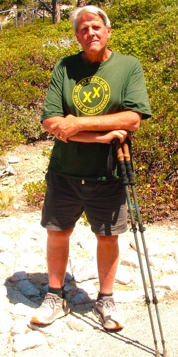
Steve Cooper, who lives in Twin Peaks, is a frequent hiker on the Children’s Forest Trail. He also visits the nearby fire lookout. In past years, Steve often ascended the 4.5-mile Exploration Trail, whose starting point is at the bottom of Keller Peak Road.
OK, the trailhead is located next to a restroom facility and marked by a ground-level boulder. Pause for a moment to read one of the two signs on the left before starting your hike. It reports that “in 1970 the Bear Fire burned through this area leaving a smouldering, charred landscape. Volunteers helped plant new trees and built a trail so everyone could see how a forest returns from the ashes. By 1993 the trail’s asphalt was crumbling and some parts of the path were too steep, so the trail had to be moved. [Because] this is a children’s forest, young people were invited to do the work. Forty youth from around the country worked for weeks to design the new path. Many others helped finish the signs you will see along the trail.”
On the Trail
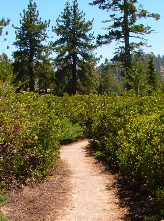
Now head out onto the pathway, bearing to the right. Its asphalt-covered course passes through vegetation dominated by hardy alpine shrubbery. The stands grow thickly and cover many acres. Pines and firs are in the distinct minority, with Ponderosas being the stoutest and tallest.
At two-tenths of a mile, you’ll come to a fork in the trail. Go to the right. Along the way you’ll see colorful interpretive signage designed by students to illuminate natural features of the area, such as geology and wildlife. At yet another fork, turn right again and proceed gently uphill. Here views of striking rock formations appear in the near distance and, much farther away, mountains above Big Bear Lake.
At about the half-mile point, you’ll come to a bench and wizened Ponderosa pine. Pause for a moment to take in the panorama at what’s likely the trail’s highest point. Then, because you’re in a cul-de-sac, retrace your steps to the second fork. (En route you’ll catch glimpses of a small lake.) Take a left there and hike downhill, continuing through the amazing shrubbery forest.
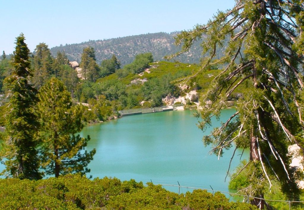
From the trail’s one-mile point, Snow Valley Lake is just steps away. This reservoir supplies water for making snow during the ski season.
At the one-mile mark, you’ll encounter another bench and the best view of what might be called Snow Valley Lake, though its official name is somewhat of a mystery. During ski season, this small reservoir supplies water for making snow on the slopes of what’s now a mostly barren mountain.
As you continue on the trail, you’ll see the microwave array on top of Keller Peak and, barely out of view just beyond it, the fire lookout. Situated at 7,882 feet, the tower is another prime “Let’s Go Hiking” destination.
A passageway between boulders graced with light-green lichen leads back toward the parking lot. At a T-intersetion, bear right. When you reach your starting point, you’ll have covered about 1.2 miles.
Why not extend the outing for another mile? If you feel inspired to do so, walk across the parking lot past three picnic tables until you reach a sign reading, “Shady Grove GROUP CAMP.” Here the roadway narrows considerably and leads to closed gates. Step around the righthand gate onto a dirt road en route to Group Camp A. If you look carefully in the eastern distance, you’ll see the tallest visible mountain with a sharp point at its apex. This is the setting for the Butler Peak Fire Lookout. At an altitude of 8,537 feet, it’s the highest tower in the mountains.
The campground itself proves to be quite appealing, with a large group picnic area and imposing boulder piles. Walk past the restrooms and two raised tent platforms toward an enormous boulder on the far left. Just beyond it is a terrific viewpoint.
Now it’s time to retrace your steps through the campground, then up along the road to the parking lot. Your augmented hike has grown to 2.2. miles. If you still have surplus time and energy, consider a Children’s Forest Trail encore. Then you’ll have logged 3.4 miles.
NOTES: While this route is intended especially for youngsters, it’s a short and enjoyable outing for hikers of all ages. You’ll be struck by how quiet it is here. Far from any traffic, you’ll hear only bird songs and wind in the trees. You’ll also be impressed with the remarkable shrubbery, which is the trail’s primary vegetation.





0 Comments