



By TIM WILCOX
Special to the Alpine Mountaineer
Where: Crestline
Length: 2 miles (round trip)
Elevation gain: 275 feet (return leg)
Challenge: easy to moderate
What is it that attracts so many hikers to the Heart Rock Trail? It’s certainly not prominent signage. The informal parking strip near the entrance to Camp Seely has nothing to identify it. And a simple guidepost with an arrow, reading something like “Heart Rock: 1 Mile,” is absent. Of course, too, trails aren’t advertised.
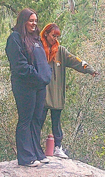
The Heart Rock Trail attracts hikers from across the mountains and around the region. Here friends and first-time visitors Meranda Patterson from Hesperia (left) and Joselin Castillo from Lynwood stand atop the trail’s-end viewpoint.
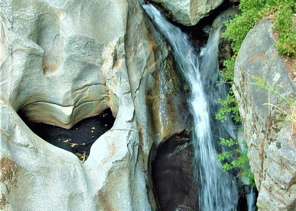
So, what is it that draws thousands of visitors every year to view the remarkable geological and hydrological formation at the trail’s lowest point? Mostly word of mouth and word of web.
Getting there, especially for first-timers, is somewhat complicated. Take Highway 18 to Lake Gregory Drive and turn right at the stoplight. Downhill a couple of miles, by the lake and Goodwin & Sons Market, is Crestline’s main intersection. Turn left there at the stop sign and drive through town. When you start going uphill, watch for the old white church on the right.
Immediately beyond it and straight ahead is Knapps Cutoff (don’t continue going uphill). Follow the cutoff to a stop sign, which is the intersection with Highway 138. Continue forward and downhill, past a storage facility, then watch for a large open space on the left about two miles from where you turned by the lake.
For most of the trail’s history, you could turn left at the Camp Seely sign, then drive to the official trailhead parking lot. Somewhat mysteriously, this convenient access has been blocked for at least the last two years.
On the trail
When you’ve secured your vehicle in the current parking area, head toward the camp’s entrance. Follow a short path to the left that leads onto a paved road across which Seely Creek runs much of the year. Fortunately, it’s usually quite shallow and, hence, easy to negotiate. A few steps farther, turn right onto a dirt road/pathway that leads through brush and small trees. Continue right around an unsecured gate until you reach a fenced facility. What is it? The camp’s decades-old swimming pool, empty for the season. Just beyond it, up to the left, is the former trailhead’s empty lot.
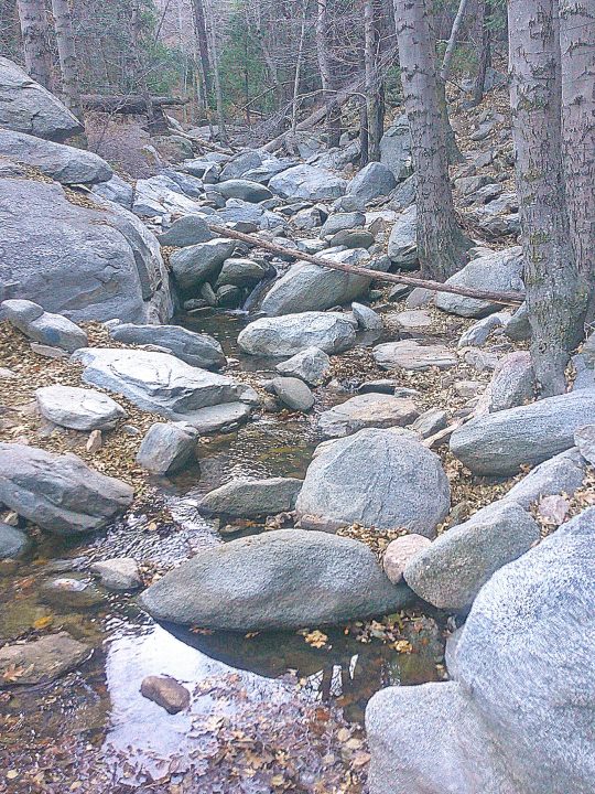
Seely Creek’s myriad boulders make its streambed one of the rockiest not only in the San Bernardino Mountains, but all of California.
Now, about one-third of a mile from your parking spot, you’ll enter the primary trail. It’s a good eight feet wide at this point and quite level. Soon, however, it takes you past some enormous boulders and heads downhill. To your right you’ll see and hear Seely Creek running, though it’s usually a modest flow this time of year.
This is a lovely, peaceful and relaxing setting with few issues on the trail. In some spots, though, the route narrows due to erosion on the right. Then, about two-thirds of a mile from your launch point, the trail becomes steeper. Moments later you’ll encounter a short muddy stretch that’s quite slippery. Tread carefully!
As you proceed downward, the route becomes rockier in spots. For a few steps you’re actually at creek level. Pause for a moment to look in both directions of the streambed. The tumbled array of boulders is nothing less than remarkable.
Next, at a nearby fork in the trail, take the left branch, which is more manageable. It leads to a particularly rocky stretch that ascends briefly, levels out, then opens onto an almost rock-free pathway. Here again you can walk to the left or right. This time bear right until you reach the steepest stretch of the trail, extending for nearly 30 feet. Replete with small embedded and sometimes sharp rocks, it calls for special caution.
It also leads to large boulders that are situated directly above Heart Rock. This is the principal viewpoint upon which countless hikers over many decades have stood and sat to admire the trail’s famous namesake feature. Linger there for a while to gaze and meditate.
Now, inspired and energized, retrace your steps – this time mostly uphill. When you’ve completed the round trip, you’ll have hiked for about one hour.
NOTES: What could be the mountains’ most well-known trail offers a short, but memorable, outing. During winter months, late morning and early afternoon are the best times to undertake the hike because the sun is highest in the sky. Later in the day, the trail is fully shrouded in shade.





0 Comments