


By TIM WILCOX
Special to the Alpine Mountaineer
Where: Rimforest/Twin Peaks
Length: 1.6-mile loop (including spur)
Elevation gain: 146 feet (from lowest point)
Difficulty: easy to moderate
Pardon the cliché, please, but “Better late than never.” Winter made a tardy appearance in late January with the season’s first significant snowfall. Soon after that storm, “Let’s Go Hiking” paid a visit to the Ponderosa Trail, immediately west of Rimforest. Why? Because it’s an ideal route for traversing with snowshoes or traction cleats. With more than six inches of the white stuff on the ground, it proved to be exactly that. Please note, however, that by the time you read this week’s column, much of it will have gone slushy or melted altogether. But keep this trail in mind for a visit after the next storm.
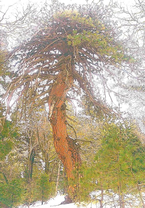
Near the end of a counter-clockwise transit of the trail, the Medusa Tree is a remarkable “arboreal sculpture.” This forest monarch boasts a base diameter of seven feet.
The entrance is on Highway 18 about half a mile from Rimforest. If you’re headed downhill from that community, pull into the turnout on your right. If you’re coming uphill from Crestline, watch for the space on the other side of Highway 18 dominated by large Ponderosa pines. Cross the highway with great care!
On the trail
Whichever turnout you’ve chosen, walk past the western closed gate and proceed straight ahead until you come to a wide path leading downhill. This section is actually a rocky drainage channel. Covered with snow, it’s relatively easy to negotiate. But if you were hiking the trail in a clockwise direction, this would be its final and steepest segment.
Anyway, step around a fallen tree and continue downhill. When the route turns left, it leads to a clearing that during warmer months is a parking lot (off Highway 189 across from Pinecrest Christian Conference Center). This is private property owned by Better Place Forests, which has established nine locations across the country. With respect to the immediate setting, a nearby sign reports that “this is a conservation memorial forest where cremated remains are spread. . . . Please stay on trails and keep dogs on leash.”
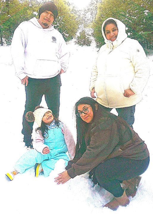
Visitors to the trail from Moreno Valley are Jocelyn Martinez (kneeling), Maria Martinez, James Reyes and Isabella Reyes. Three-year-old Isabella was especially excited because this was her first snowman.
According to Better Place Forests, “When memorials are scheduled, we put up signs and close this part of the forest for the privacy of the grieving families.” Even when no observance is being conducted, which is the case when snow is on the ground, our responsibility as pass-through visitors is to be quiet and respectful.
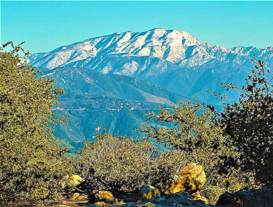
In that mindful mode, bear left and proceed uphill on what’s more of a road than a pathway. This segment continues for several tenths of a mile, passing two turnouts on the right that lead downhill. Stay on the main route until you arrive at two small boulders, which mark the entrance to the trail’s spur. Head right there and meander downhill into a large stand of chaparral that at one point forms a leafy tunnel. (When snow is absent, this is a particularly rocky stretch.) Two-tenths of a mile from the boulders, you’ll arrive at an open space offering views of 200 degrees or more: San Bernardino Peak to the east, the San Gabriels to the west and then, to the southwest, Saddleback Mountain and farther still (on a really clear day), Catalina Island.
Return now to the spur’s entry point and turn right onto the main trail, which heads gently uphill. Pause above Highway 18 and cast your eyes along its upward course to Strawberry Peak. That familiar summit is topped by a green, fortress-like structure (telephone equipment), microwave towers and a historic fire lookout. Stay on the pathway when it narrows to less than five feet. Widening again, it continues downhill to a prodigious Ponderosa pine, hundreds of years old, with a convoluted crown. This is one of the mountains’ most striking “arboreal sculptures.” We like to call it the Medusa Tree. Finally, continue onward for less than one-tenth of a mile. Walk down through a scattering of small boulders to the gate where your adventure began. Of course, if this relatively short excursion leaves you with surplus energy, do it again. Happy encore!
NOTES: This is a rare “hybrid hike,” comprising public and private stretches of trail. Better Place Forests, the private company/landowner, welcomes hikers to its portion of the route as long as no memorial ceremonies are under way. Note that the trail’s spur leads to one of the finest viewpoints in the San Bernardino Mountains.





0 Comments