



By TIM WILCOX
Special to the Alpine Mountaineer
Where: Rimforest
Length: 4.2 miles (round trip)
Elevation gain: 458 feet
Challenge: easy to moderate
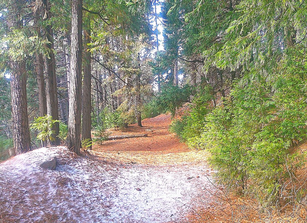
Let’s begin with a candid comment: There’s nothing particularly dramatic about the Dogwood Trail in Rimforest. Stirring vistas and rugged rock formations are completely absent. This is an exclusively “through the forest” trail and, for some hikers, that characteristic is sufficient to inspire repeat visits. It’s also situated next to what may be our area’s most popular and largest campground (currently closed for the season). During warmer months, that proximity only amplifies the trail’s enduring appeal.
Candidly, too, I’m puzzled by the name. While the trail has a single prominent stand of Pacific dogwoods (Cornus nuttallii), pines, firs and oaks are far more prevalent. So why is it called the Dogwood Trail? I’ll venture a guess: It’s because the campground also claims several clusters.
As a practical matter, where does one park? On the southern side of the short access/egress road between Highway 18 and Daley Canyon Road. Once you’ve found a spot there, head toward the large U.S. Forest Service (USFS) sign, which reports an elevation of 5,600 feet. Steps beyond it is a yellow-and-red gate. That’s the understated lower “trailhead.” (By contrast, the upper starting point, in the campground, merits an official USFS sign.)
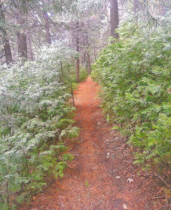
Along several stretches of this route, baby and juvenile firs crowd the trail like eager forest newcomers.
On the trail
The path begins directly by the gate’s left post. Walk down the slope and along what appears to be an eroded streambed. Once you cross a rickety wooden-slat bridge, you’re clearly on the trail.
The initial narrow section ascends gently. The slope becomes steeper before leveling out again. The path remains narrow, no more than three feet wide. It takes you through a stand of baby firs with much more mature trees towering overhead – mostly firs and pines.
After a quarter-mile or so, you come to a stretch that’s mostly level with no noticeable landmarks on either side. The path is relatively smooth beaten earth with occasional rocky patches. Again, this is a trail through the forest. It’s pleasant enough but, candidly again, basically nondescript.
More than half a mile in, the trail widens and, with occasional rises, is mostly level. The overall effect, though, is that you’re achieving slow elevation gains.
Thus far you’ve been sheltered in the forest. Now, however, you come to portion of the trail that opens up to views of ridgelines to the north and, beyond them, a peek at The Pinnacles. With the path narrowing once again, a double switchback leads you to a descending stretch past a wizened sequoia and back into the forest shelter.
Now, for the first time, you encounter an imposing boulder on the right just before crossing another wooden-slat bridge. A T-intersection invites you to go right or left. Prefer left.
The trail widens once again to four or five feet. You walk for quite a ways through the forest, descending gently. About a mile in you pass the first really large tree on the route (possibly a Jeffrey pine) with a base diameter of more than five feet. Soon after that you encounter another opening in the forest, offering a north-oriented vista. This proves to be the last such clearing on the trail.
Moments later you come to the aforementioned Pacific dogwoods. It’s easy to miss this modest stand because it’s barren in winter. But in a few months, these deciduous trees will be displaying their signature faux-flower white bracts. Ditto for the stands inside the campground.
Immediately after crossing a rocky section, you enter a short stretch that rises more steeply than any previous portion. The rocky theme continues past what looks like an avalanche shoot on the right, littered with boulders and downed tree trunks. It can’t be an avalanche remnant. There’s no substantial “snow collection field” above. Instead, it likely was the scene of heavy rainfall many years ago.
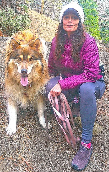
Dogwood Trail buddies from Lake Arrowhead are Amber Coffman and Freya.
Now you shift into ascent mode once again. This section proves to be the trail’s most challenging, with a dramatic elevation gain. Still, in terms of difficulty, it’s a moderate stretch.
Nearing trail’s end, you walk onto and then past a ridgeline. A fork calls for another “Which way?” decision. Go left. That path will take you to Dogwood’s upper-trailhead sign at the campground’s northeastern end. You’ve been hiking for slightly more than two miles.
If you’re a forest devotee, turn around and retrace your steps from the upper trailhead. You also can amble on asphalt through the empty and silent campground and back downhill past its dormant entry booth. That alternative route will save you more than half a mile compared to the “trail only” round trip. Our preference, of course, is to hike back into the sylvan setting.
NOTES: The Dogwood Trail offers a pleasant, relatively easy hike lasting about 90 minutes. This isn’t a route blessed with great scenery. Instead, it’s a delightful stroll among the trees. Alpine-forest lovers will be especially pleased.





0 Comments