



By TIM WILCOX
Special to the Alpine Mountaineer
Where: East of Running Springs
Length: 1.8 miles (double loop)
Elevation gain: 291 feet
Challenge: easy to moderate
You may be surprised to learn that, strictly speaking, Arrowbear Lake isn’t a lake. Instead, it’s “a wide spot in the Deep Creek watershed.” That’s according to Chris Dumas, general manager of the Arrowbear Park County Water District. He also mentions that when full, this body of water covers about five acres and is now privately owned.
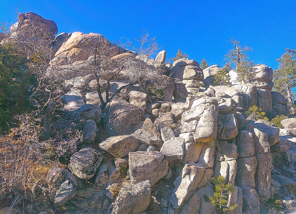
Huge piles of granite boulders are community landmarks. Some of them stand alone. Others loom over or even serve as pedestals for residents’ homes.
Of interest, too, says Dumas: “Back when there was an Arrowbear Lake Lions Club, members would hold an annual fishing tournament. The club is gone, and those events are history. But periodically the lake is still stocked with trout by the state’s Department of Fish and Wildlife as long as the temperature is low enough and the water level is high enough.”
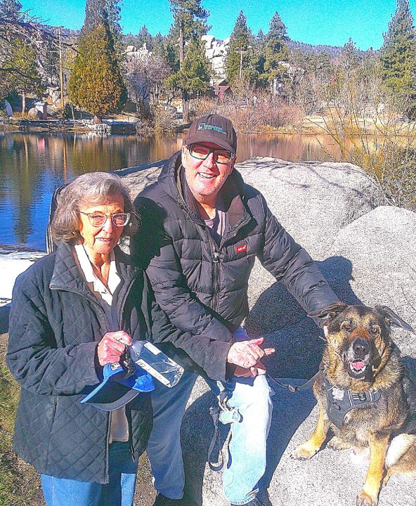
Friendly Arrowbear Lake residents Phyllis Lee Ward and her son, Dana James Ward, pause for a moment during their daily neighborhood tour with Thunder. James Terrace Ward, Phyllis’s husband of 57 years, passed recently. He was a prominent figure at Disneyland (where the couple met), serving as the park’s engineering superintendent and technical director. Dana has assumed the role of full-time caretaker for his mother.
For the sake of convenience, then, it’s fine to use the term “lake.” Also, because it’s so small, this lake is dry much of the year. In fact, Dumas shares, it filled up again only in recent weeks with belated winter storms.
Here’s how to get there: Travel to Running Springs on Highway 18. From the main intersection (at Highway 330), continue east for about two miles to Arrowbear Drive (just before Victoria’s Family Restaurant). Turn right and proceed a short distance until you come to a bridge. Turn right again, crossing the bridge, then immediately left into a parking area at lake’s edge. OK, let’s go hiking!
On the road
For starters, walk away from the lake, heading south along the continuation of Arrowbear Drive. On the left is the community park, which during warmer months is a popular gathering spot. Proceed slightly uphill through the pleasant neighborhood for about one-third of a mile until you come to Oak Drive, then turn left. Amble ahead to Ridge Drive. A few paces farther to the left on this mini-tour of Arrowbear Lake, you’ll arrive at Fir Drive. Head downhill now past neatly kept homes and the water-district office.
At the bottom of Fir, go left on Lakeview Drive. Walk past your vehicle and over the bridge, which tops the lake’s dam. Now turn right at the stop sign onto Sierra View Drive and proceed along the shoreline of the lake itself. Here you’ll be struck by the enormous piles of boulders on the left.
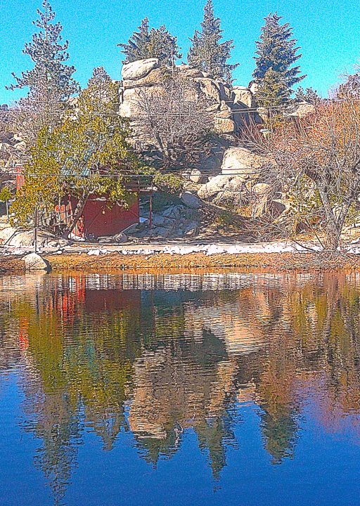
Close to the lake and beyond, monumental rock formations are common in this area.
Just past what appears to be a Coulter pine with a double trunk, a smaller road bends off to the right. Take it and walk onto a paved parking area, which stretches for 200 feet or so. Then go along a worn and weathered road whose asphalt has mostly crumbled into a dirt lot. Continue uphill until you arrive at fully paved Sierra View. Head right there. A few stops later, by a big black-on-yellow arrow, you’ll be on Cedar Drive.
Now, for more than two-tenths of a mile, hike uphill past close-set homes on the right and boulders on the left. This will prove to be the steepest part of your outing. Just below its high point, Cedar intersects with Music Camp Road. Following your aerobic workout, this stretch to the left leads sharply downhill. Ahhh. . . Homes here have the feeling of being “above it all” – in a spatial sense, at least. And as is the case with the rest of this community, any residents you may meet along the way are likely to be friendly. Dogs kept behind fences are less welcoming.
Nearing the lake at about the 1.5-mile mark of your foray, Music Camp gives way to Sierra View Drive. Soon you’ll be retracing your steps back to the bridge and your starting point. You’ve completed a double-loop walkabout through a delightful alpine community and past its seasonal lake. Both merit this apropos accolade: “Small is beautiful!”
NOTES: Arrowbear Lake, whose population hovers between 700 and 800, is situated at 6,220 feet. Because there’s a network of streets in the community, you can create several different hiking itineraries. Consistently, though, the lake serves as your beginning and ending focal point – at least when it’s full of water.





0 Comments