



By TIM WILCOX
Special to the Alpine Mountaineer
Where: Northern end of Highway 173
Length: 4 miles (round trip, partial transit)
Elevation gain: 612 feet
Challenge: moderate to difficult
Are you ready for one of the San Bernardino Mountains’ most challenging hikes? OK, motor northwest and then north on Highway 173, following that circuitous route six miles past its intersection with North Bay Road in Lake Arrowhead. If you come to an intimidating Caltrans barrier, you’ve gone too far. Past that closed gate, the long-unused roadway (covered with grass-filled cracks) meanders downhill toward Hesperia. Instead, find a parking spot on the highway’s margin about one tenth of a mile south of the barrier (near a concrete bridge). Steps away is the understated entrance to the Deep Creek Trail. Understated? Yes. There’s no prominent signage, and only two close-set rocks serve as the portal.
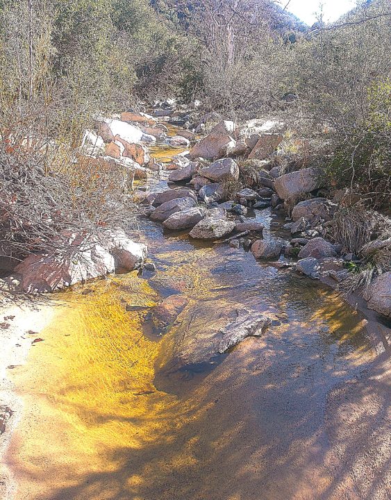
Views from a sandbar in the middle of Deep Creek are nothing less than serene. The creek is a torrent only during heavy rainfall. When water is seasonally present, its flow is moderate, creating many reflecting pools. The “Deep” in its name is due to the rocky chasm the creek has eroded over the course of centuries, not its depth at any point. (Photos by T. Wilcox)
The trail is exceptionally steep in many spots, with slippery stretches of sand, gravel and small rocks. Our carefully considered advice is to attach traction cleats to your footwear—even when the path is completely dry, as it is most of the year. Also FYI, this trail actually extends for nearly four miles, leading to the fabled hot springs. The round-trip hike is about 7.5 miles, making it an ambitious outing lasting several hours. With a more manageable adventure in mind, we’ll traverse about half that length.
On the trail
The initial broad beaten-earth path, just off the road, gives way to a narrow trail that fluctuates along most of its course between one- and three-feet wide, with two feet being the happy medium. Chaparral is the principal vegetation, while scrub deciduous trees act as the supporting cast. Pines and firs are absent in this transition zone from an alpine biome to the High Desert.
The hike-launching section proceeds moderately downhill, tracing the course of Deep Creek on the left. At this point the water is more than 100 feet below you. Notice how rocky some of the hillsides above the creek are, revealing their close geological kinship to The Pinnacles and surrounding formations.
Notice, too, that some sections of the trail veer more sharply downward. Because the pathway is typically covered with fine, loose gravel, traction cleats enable a safer transit (as noted). In their absence, one proven technique is to “shoosh” down the really steep spots without lifting your feet.
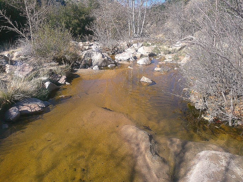
Continuing to descend, you’re getting closer to the creek itself. At about the half-mile mark, you’re just above the gently flowing water and large pools. Scramble down the slope for some 15 feet and relax for a few minutes.

Echo Wood (left) from Running Springs has hiked the trail many times. But her friends from Rialto, April and Charles Valdepeña, were newcomers to this strenuous route.
Once you return to the trail and hike onward, you’ll see that Deep Creek now drops more dramatically into the canyon. The trail descends less sharply, then levels off for a short stretch. At the .7-mile mark, you’ll encounter a small boulder field that briefly obliterates the pathway. Clamber over it and head mostly uphill.
When you’ve been hiking for almost one mile, you’ll arrive at a promontory that surveys hillsides immediately above the creek and almost-barren mountains in the eastern distance. The flowing water is some 200 feet below you. After pausing to enjoy this bracing view, continue on the trail to the right, heading briefly downhill. Soon, though, the pathway veers steeply uphill. This is the trail’s most aerobically challenging segment.
When the route finally levels off, you come to another viewpoint, where the creek is more than 400 feet below. The closest hills form a wide V, framing distant mountains and creating a shape that looks something like a B-2 bomber. An excess of on-the-trail imagination? Probably.
All right, proceed along the still-narrow pathway, which descends once again, for several tenths of a mile. When you arrive at a low point that’s exceptionally rocky and rises abruptly, scramble on for another 10 minutes or so. Now you’ve reached the approximate two-mile mark. Again, with a manageable hike in mind, turn around here and retrace your steps. (Of course, if you feel inspired to forge on, make sure that you have enough daylight and water to support your augmented outing.) Overall, anticipate an outdoor adventure lasting between 90 minutes and two hours. The maximum elevation is 4,730 feet.
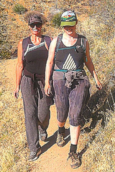
Photographed from a distance, Caelin Meredith (left) and Hannah Whiteoak are obviously focused on hiking and not posing. Hannah, originally from Great Britain and now a Crestline resident, is a Deep Creek Trail veteran. For Caelin, who hails from Canada and now lives in Skyforest, this was a first-time transit.
NOTES: While this is a relatively remote trail, it’s still one of the most popular hiking destinations in all of our mountains. As spring segues to summer, daytime temperatures climb into the 80s. Nineties are the rule during summer’s peak. So the most comfortable hiking windows are early to mid-spring and mid- to late fall. Traction cleats are strongly advised. A good supply of drinking water is essential!





0 Comments