


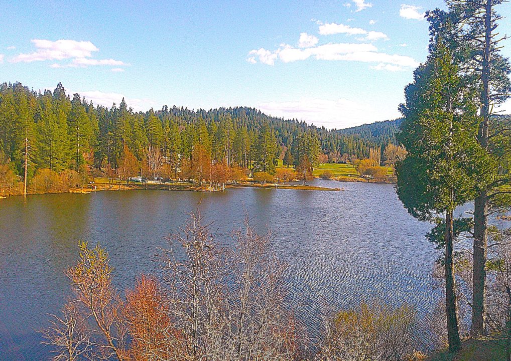
Where: Lake Arrowhead
Length: 2.8 miles (round trip)
Elevation gain: 122 feet
Challenge: easy to moderate
Most of the hiking we do and write about is on trails in the western San Bernardino Mountains. But occasionally, as you’ve seen, we explore roads (paved and unpaved) in interesting and scenic locations. Depending on your pace, these outings are hikes, walks or strolls. Altitude gain also plays a role, naturally.
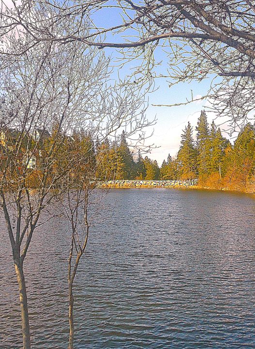
A view of the lake to the north culminates with the small dam and initial flow point of Grass Valley Creek.
So, let’s head for our area’s only golf course. Do we have a bag of clubs in hand? Nope. Instead, our destination is Grass Valley Lake, immediately north of Lake Arrowhead Country Club. Its neighbor to the east is nearly 57 times larger. Quite obviously, then, Lake Arrowhead is overwhelmingly prominent. Still, this much-more-modest body of water is definitely worth visiting. Slightly higher than Lake Arrowhead, it’s a 13.8-acre reservoir that was created in the 1960s as a supplemental water source.
Here’s how to get there. Find your way to North Bay Road and, whether you’re driving north from Highway 189 or south from Highway 173, watch for Peninsula Drive. Turn there by Fire Station No. 94 and motor uphill past the Mountain History Museum, then downhill to Tunnel Drive. Turn right and continue descending. When you come to Golf Course Road, turn right again.
If you’re a member of Arrowhead Lake Association, enter Grass Valley Park and leave your vehicle in the gated lot. If not, there’s a turnout on the left just beyond the park’s entrance that’s safe and legal.
On the road
Once you’ve secured your vehicle, walk north along Golf Course Road for a few paces, then bear to the left on the pathway by the lake. At the end of this short stretch, you’ll come to the small, rocky dam. Veer left and proceed along the top of the dam to its spillway. There, because the lake is full, you’ll see water running down into Grass Valley Creek. As spring gives way to summer, the creek will dwindle to a trickle and then evaporate.
Return to Golf Course Road and continue north on its left beaten-earth margin. As you proceed, you’ll be entertained by the rushing creek. It’s springtime water music.
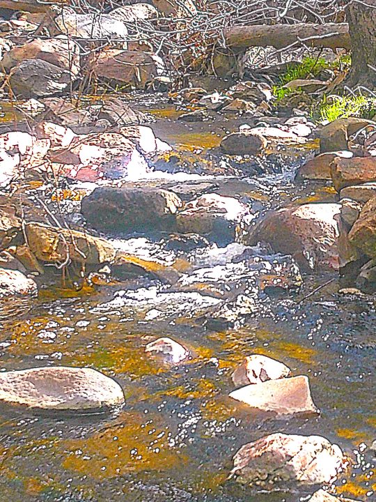
The creek is at or near its seasonal high. The best viewing spot is immediately below the intersection of Oakmont Drive and Brentwood Drive.
About four-tenths of a mile from where you parked, you’ll come to Oakmont Drive. Turn left and, watching for oncoming vehicles, amble downhill until you come to a T-intersection. Bear left there onto Brentwood Drive and begin a long, moderate trek uphill. This is the most aerobically beneficial part of your hike.
Now, from more than 100 feet higher, you’re treated to an expansive view of the lake and, farther south, the country club. On weekends in particular, golfing devotees are present in significant numbers thanks to warmer temperatures and snow-free fairways.
Brentwood winds through a lovely residential neighborhood, with some homes situated on the hillside to the right and others perched above the lake and golf course to the left. Continue on the road past Pinehurst Drive on the right, about 1.2 miles from your starting point.
Next you’ll pass Brentwood Lane on the right and, not much farther, Riviera Drive to the left. Hike for another few minutes past Bel Air Drive until you come to San Benito Lane. Close to the 1.5-mile mark, that’s a congenial turnaround point. Now retrace your steps on the right (because of its wider margin) back along Brentwood, down to Oakmont, uphill to Golf Course and back to your parking spot. How far have you hiked? Nearly three miles.
Of course, if you have time, energy and curiosity to spare, you can explore any of the side streets off Brentwood – perhaps ascending to the highest hillside neighborhood. It’s your call. Follow our suggested route or spontaneously create your own!
NOTES: Grass Valley Lake is tiny compared to Lake Arrowhead, which covers 782 acres. As such, the former has a much quieter and simpler appeal. It’s completely free of boats and docks. There’s no trail around the lake, but walking/hiking along adjacent roads is an enjoyable way to pass an exercise-oriented hour or more. A well-established, safety-focused principle calls for hiking on the left with oncoming traffic in view. But when there’s no margin, go to the right and be alert to approaching vehicles from behind.





0 Comments