



By TIM WILCOX
Special to the Alpine Mountaineer
Where: Green Valley Lake
Length: 4.2 miles (round trip)
Elevation gain: 384 feet
Challenge: easy to moderate+
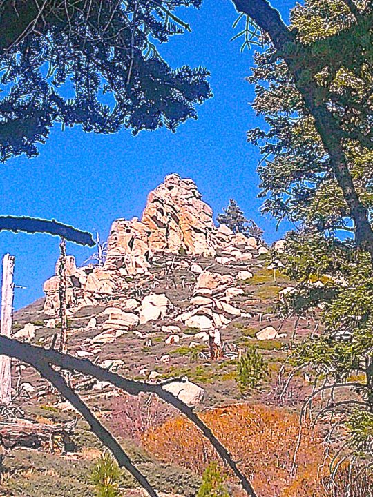
A granite pyramid is embedded atop a pyramid-like hill. It’s the most eye-catching rock formation along the road directly east of the campground. (Photos by T. Wilcox)
Let’s return to Green Valley Lake, which at 7,200 feet is our mountains’ highest community. Simply as a reminder, take Highway 18 east from Running Springs downhill (past Arrowbear) about 2.5 miles. Turn left onto Green Valley Lake Road and drive for another four miles.
There’s the lake. This time, though, it’s not our destination. Instead, we’re headed for the community’s National Forest campground about two miles farther east. The actual “Let’s Go Hiking” target is Green Valley Campground Road. At least that’s what we call this U.S. Forest Service route (2N13), which has no place name like Old Sawmill or Rouse Ranch. FYI, there’s no public parking among the campsites, so find a spot near the two access points without blocking either one. OK, let’s go hiking!
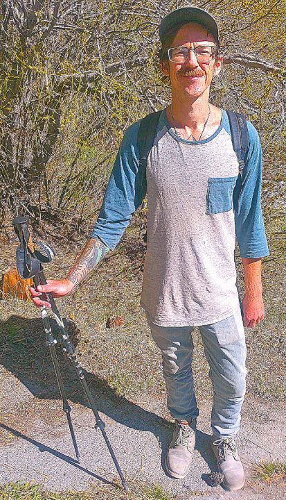
Pat Fogarty from Anaheim usually heads for Big Bear to enjoy mountain adventures. In this case, he says, “I wanted to try something different.” So, he settled in the Green Valley Campground and, among other pursuits, completed an eight-mile, round-trip hike along the adjacent road.
On the road
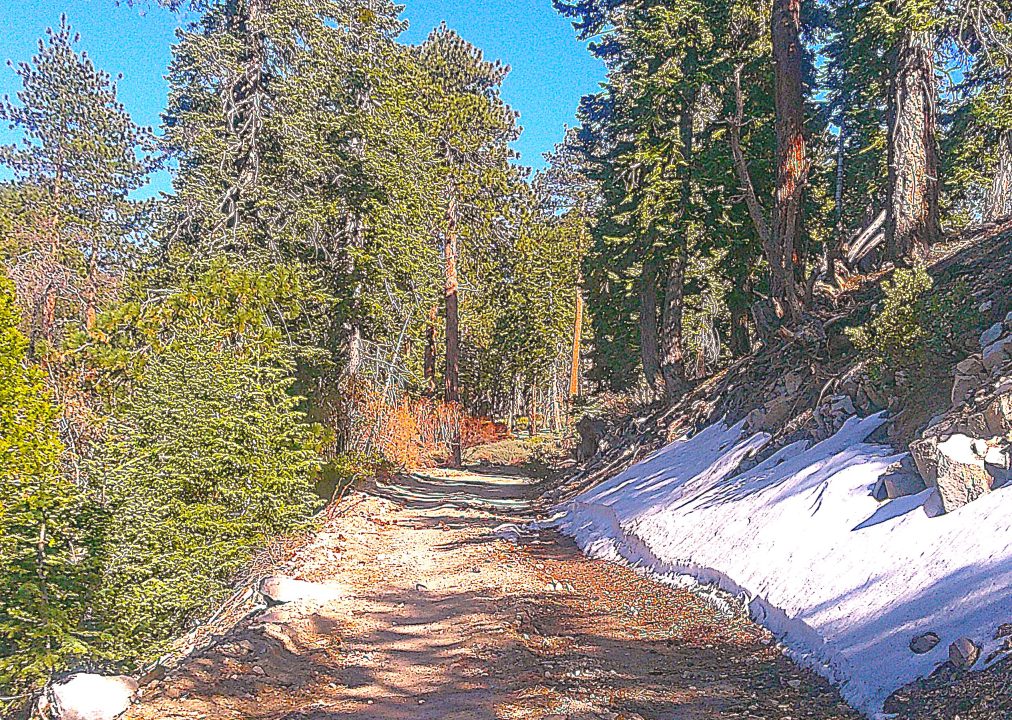
Walk through the campground’s left entrance and head up the paved road. About three-tenths of a mile from the entryway, you’ll come to a portable ROAD CLOSED sign. Now you’ll be leaving the 37 campsites behind. Then, at the half-mile point, the pavement ends. Here a permanent gate with more closure signage leads to a dirt road that begins a long and winding, mostly uphill course. If you were to follow it for the next 10 miles or so, you’d end up in Fawnskin. Anyway, you’ll reach a junction about 100 yards beyond the gate. Its left branch will land you in the area’s main creek. Instead, hike straight ahead on the road.
At about the 0.8-mile mark, the route narrows slightly, levels off, then continues its steadily ascending format. To your left the creek supplies relaxing springtime water music. Nearing one mile into your foray, you’ll come to a modest flow of water across the road. It’s from a feeder stream to your right. The grade increases as you approach an altitude of 7,400 feet. Here the forest is almost exclusively evergreen. Scrub deciduous trees and shrubs cluster along the creek.
When you’ve covered 1.2 miles, you’ll see another Forest Service route on the right. Stay on the main road, which turns left and continues its uphill course. At 1.5 miles you’ll encounter several Ponderosa pines on the left that show clear signs of being singed in a fire – probably a blaze that occurred many years ago. Across the creek is a log that bears even more dramatic blackened scars.
When you’ve traversed 1.8 miles, the road executes a hairpin turn to the left and continues sharply uphill. Hike on for another two-tenths of a mile. All of a sudden, the road’s first sweeping vista appears to the left. From this vantage through the trees you can see Lake Arrowhead, Strawberry Peak with its microwave array and, much farther west, the San Gabriel Mountains.
To enjoy a more expansive view, walk carefully down through the low-lying shrubbery and climb onto a small collection of boulders. (On this particular occasion, the view was partially obscured by fog and clouds. On a clear day it should be magnificent and could possibly include a slice of Silverwood Lake.)
OK, your brief excursion to the boulder overlook has consumed another one-tenth of a mile. Now it’s time to go back to the road and revisit your hike in the opposite direction. If snow still covered the route, you could glide downhill much of the way. As it is, the return trip will be an easy and enjoyable amble.
NOTES: A hike along the road beyond Green Valley Campground can extend from a few to many miles. An especially ambitious trek all the way to Fawnskin is an outing with backpack containing food and a generous supply of water. Those who undertake this hours-long foray usually have someone drop them off at the campground and then meet them at a designated spot in Fawnskin. Our much-more-modest suggested route is rated “moderate+” because the outbound leg is primarily uphill.





0 Comments