



By TIM WILCOX
Special to the Alpine Mountaineer
Where: Northwest of Lake Arrowhead
Length: 7.2 miles (round trip, partial transit) Elevation gain: 688 feet (total of outbound and return legs)
Challenge: moderate to difficult
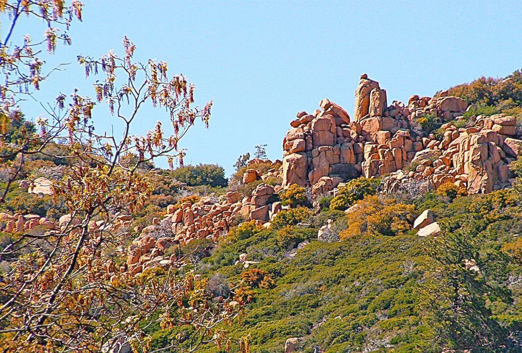
Here’s a destination that we consider one of the western San Bernardino Mountains’ premier “remote and rocky” hiking adventures. It’s Pilot Rock Road. This route is situated near the far northern end of Highway 173 in an area dominated by The Pinnacles. Its starting point is the Metate Trailhead parking lot, across from the U.S. Forest Service’s Rock Camp station and slightly more than eight miles northwest of Lake Arrowhead Village. Secure your vehicle in the lot and walk a few steps to the paved route branching west off the highway.
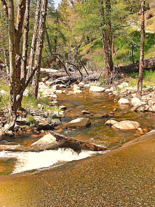
The area’s main creek crosses the roadway (foreground), necessitating a careful but not foot-soaking ford.
On the road
The pavement ends about half a mile from your parking spot. First, though, you’ll pass an impressive Lake Arrowhead Community Services District facility: the Grass Valley Wastewater Treatment Plant. If it weren’t so assiduously maintained, the plant would be a blemish on this alpine neighborhood.
Now, just past an iron portal on the right, the real trek begins. FYI, this is an official Forest Service “off-highway vehicle” (OHV) route. On weekends in particular, you’ll need to watch and listen for dirt bikes and four-wheelers. The issue for hikers isn’t only safety and noise. It’s also dust. Thankfully, recreational traffic is much less intrusive on weekdays.
Almost immediately, the route becomes quite steep. About three-tenths of a mile from pavement’s end, you’ll see a deep canyon on the right and hear a creek rushing toward Silverwood Lake, which lies nearly 11 miles west.
The road continues steeply downward. At nine-tenths of a mile from your starting point, you’ll encounter a fork. Take the right branch, which is Forest Service Road 2N33. Here the route narrows and approaches the area’s principal creek. Not far below the fork, water covers the roadway before continuing along its natural rocky bed. Cross this flow nimbly and quickly and you may get your hiking boots or shoes only moderately wet.
Now the road takes a turn upwards, tracing a hairpin curve, then passing a tributary to the main creek on the right. (Its trickling supply should last for another few weeks.) The route becomes steeper, then moderates before entering a level section at about the 1.5-mile mark. Another ascent leads to a deeply rutted stretch that’s manageable for hikers but must be more challenging for OHVs.
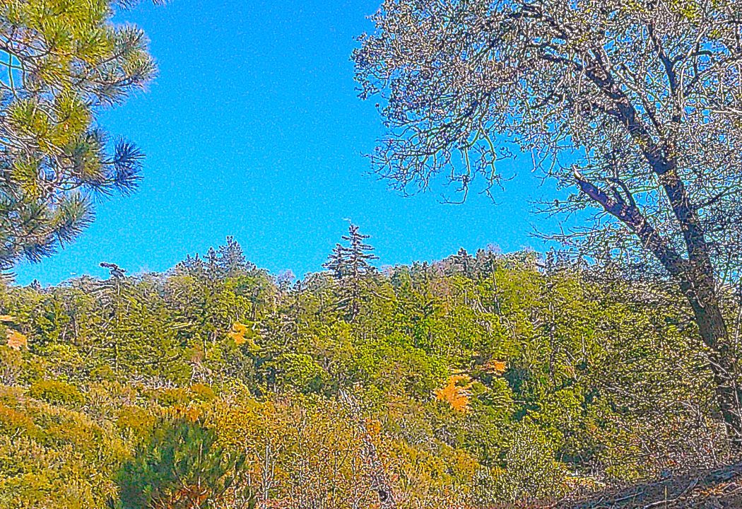
Hillsides along the road showcase early-spring’s verdant palette.
Nearing its two-mile point, the road opens up and offers views of boulder-strewn formations on the right and tree-covered hills on the left. The darker greens are pines and firs, while lighter greens testify to spring’s annual “renaissance” of deciduous trees.
A considerable level length provides welcome respite from previous ascending portions. At about 2.2 miles, you’ll cross another small creek on naturally placed stepping stones. Then, a tenth of a mile farther, another fork presents itself. Go left there on FS 2N34, which leads to the Miller Canyon recreational area.
Here the road proceeds upwards once again. At 2.8 miles, it opens up to sweeping views of lush-green hillsides in several directions. You’ll arrive at a third fork three miles into your outing. FS 2N34 extends on the left. Instead, take FS 2N37 on the right, which continues Pilot Rock Road steeply downwards into Miller Canyon.
You’ll probably be surprised to come upon a sign reading, “PAVEMENT AHEAD.” At this stage of your adventure, it’s time to make a decision. How much farther do you want to go – especially with distance covered, time invested and energy expended in mind? Pilot Rock itself is another mile or more downhill. So, unless you have time, energy and water to spare, consider hiking for only an additional 15 or 20 minutes. These final outbound steps should take you to the 3.6-mile mark. Turn around there, and you’ll ultimately achieve a round trip of 7.2 miles. As for time invested, expect two and one-half to three hours.
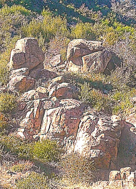
A family of boulders reposes above one of the main creek’s feeder streams. Its members are Graham and Greta Granite with offspring Grace and Grady.
NOTES: This is not a casual, “Let’s go for a stroll” outing. Instead, it’s one of our mountains’ most challenging hikes. Due to the potential presence of dirt bikes and four-wheelers, it’s smart to schedule your outing for a weekday. Also, please note that this is quintessential mountain-lion country, so hiking solo is not recommended. While encounters with the big cats are rare, they do happen from time to time. Even the more aggressive felines are much less likely to attack a party of two or more hikers.





0 Comments