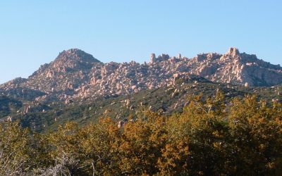
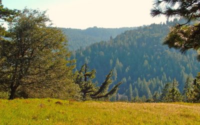
By TIM WILCOX Special to the Alpine Mountaineer Where: North of Lake Arrowhead Length: 7-mile round trip (partial transit) Elevation gain: 512 feet (return leg) Challenge: easy to semi-difficult After a “prelude hike” last week, we’ve returned to this remote and...
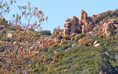
Outdoor Adventures
Outdoor Adventures
LET’S GO HIKING – Pilot Rock Trail: Part 1
By TIM WILCOX Special to the Alpine Mountaineer Where: North of Lake Arrowhead Length: 4-mile round trip Elevation gain: 144 feet Challenge: easy to moderate The rocky and relatively remote area north of Lake Arrowhead is one of our mountains’ preeminent hiking...
LET’S GO HIKING – Green Valley Campground Trail
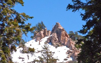
By TIM WILCOX Special to the Alpine Mountaineer Where: Green Valley Lake Length: 3-mile round trip (partial transit) Elevation gain: 156 feet Challenge: easy to moderate (snowfields) We’re back in our mountains’ highest community, where last October we hiked around...
LET’S GO HIKING – Deep Creek Trail
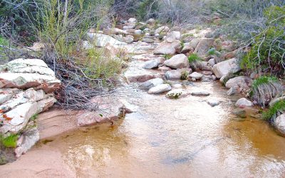
Where: North of Lake Arrowhead Length: 4-mile round trip Elevation gain: 377 feet Challenge: easy to semi-difficult The trailhead for one of our mountain’s more remote routes is situated at the northern end of Highway 173. Beyond the Caltrans barricade, the...
LET’S GO HIKING – Grass Valley Lake
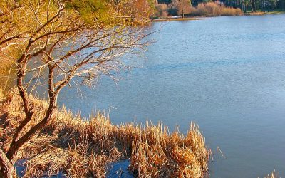
Where: Lake Arrowhead Length: 3-mile round trip Elevation gain: 112 feet Challenge: easy to moderate Its neighbor to the east is nearly 57 times larger. Quite obviously, then, Lake Arrowhead is a much more prominent destination. Still, Grass Valley Lake is definitely...
LET’S GO HIKING – V.O.E. Trail/Seely Road
By TIM WILCOX Special to the Alpine Mountaineer Where: Crestline Length: 2.6-mile round trip Elevation gain: 322 feet Challenge: moderate to momentarily difficult One of the western San Bernardino Mountains’ more obscure hikes is in the same neighborhood as what could...