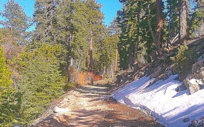
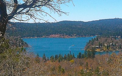
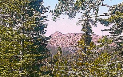
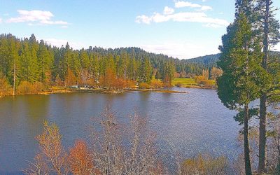
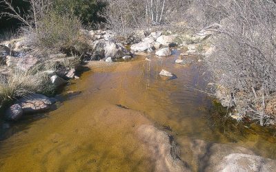
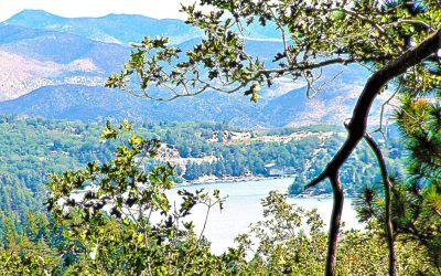
By TIM WILCOX Special to the Alpine Mountaineer Where: Lake Arrowhead Length: 4.6-mile loop Elevation gain: 422 feet Challenge: easy to semi-difficult When we visited Arrowhead Ridge in mid-March, its signature trail still bore signs of winter: snow, ice...
Outdoor Adventures
Outdoor Adventures
LET’S GO HIKING — Green Valley Campground Road
By TIM WILCOX Special to the Alpine Mountaineer Where: Green Valley Lake Length: 4.2 miles (round trip) Elevation gain: 384 feet Challenge: easy to moderate+ Let’s return to Green Valley Lake, which at 7,200 feet is our mountains’ highest community. Simply as a...
LET’S GO HIKING — Old Sawmill Road
By TIM WILCOX Special to the Alpine Mountaineer Where: Lake Arrowhead Length: 3 miles (round trip) Elevation gain: 165 feet Challenge: easy to moderate We’re back at MacKay Park, overlooking Lake Arrowhead. As we’ve reported before, it’s a great launch point...
LET’S GO HIKING — Dogwood Campground
By TIM WILCOX Special to the Alpine Mountaineer Where: Rimforest Length: 3.2-mile loop Elevation gain: 102 feet Difficulty: easy Campgrounds are for camping. Yes, but they’re also good for hiking. As a prime example, consider a 200-acre U.S. Forest Service...
LET’S GO HIKING — Grass Valley Lake
Where: Lake Arrowhead Length: 2.8 miles (round trip) Elevation gain: 122 feet Challenge: easy to moderate Most of the hiking we do and write about is on trails in the western San Bernardino Mountains. But occasionally, as you’ve seen, we explore roads (paved and...
LET’S GO HIKING — Deep Creek Trail
By TIM WILCOX Special to the Alpine Mountaineer Where: Northern end of Highway 173 Length: 4 miles (round trip, partial transit) Elevation gain: 612 feet Challenge: moderate to difficult Are you ready for one of the San Bernardino Mountains’ most...